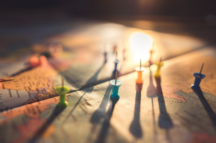
More and more people are in need of high-quality commercial satellite imagery. Because of its relevance to some fields of expertise and occupation, not only professionals doing environment-related jobs and geospatial works depend on the importance of satellite imagery.
Satellite imagery is also essential in other fields like urban and rural planning, water resources management, and agriculture. Environment-related workers such as forester, geographers, and disaster analysts depend much on satellite imagery.
 It was not long ago when these professionals experience difficulty in accessing satellite images.
Having the latest mobile satellite images app which you can download on your smartphone is truly beneficial because of the following characteristics.
Easy Accessibility
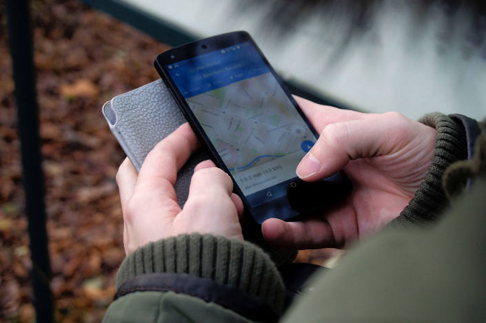
It is more convenient and time-saving when you can have the images at the click of your smartphone. Because with the mobile high-quality commercial satellite imagery app, you can track down satellites and task them to take images that you need, which you can get straight from your phone.
Through your mobile, you can access satellites anywhere and anytime. When you click to purchase, be sure to review the image you like to purchase and specify your current location.
Timely
Your requested images are guaranteed the latest photos. This is because you will get notifications of satellites when they are near your location. You can task satellites there and then to provide you with the images you need.
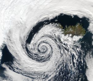
When you need an hourly update, satellite imagery may be the most convenient method. This is why this method of taking the earth’s images is used during the monitoring of natural calamities such as typhoons.
 High Resolution
 High Resolution
High resolution and clarity are guaranteed when tasking satellites for images. They can take images through clouds. When images are of high resolution and are very clear, they can be understood more easily. You will not need the help of an analyst to interpret it.
Comprehensive
Images of the earth surface from satellites can be very detailed or broad. They can cover large portions for a bird’s eye view while they can focus on specific targets. With a smartphone, it helps to use the zoom and scroll when studying maps to avoid wrong analysis and interpretation.
Satellites can circumnavigate in just 90 minutes. With more than 5,000 man-made satellites orbiting the earth, your chance of having a satellite pass near is great no matter where you are. With the many essential uses of satellite images, it is indeed very commendable that we have this high-quality commercial satellite imagery app during our generation.